My name in Landsat
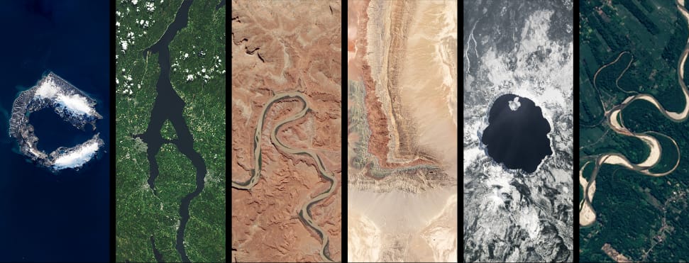
The Landsat program consists of a series of Earth-observing satellite missions jointly managed by NASA and the U.S. Geological Survey. Since 1972, Landsat satellites have continuously acquired images of the Earth’s land surface and provided an uninterrupted data archive to assist land managers, planners, and policymakers in making more informed decisions about natural resources and the environment.
One of the fun things that you do with it, is to spell your name in landsat images.
Another similar project is Amazonia, with the bends of the Amazon they’ve made Igaratype, in which you can also spell your name.